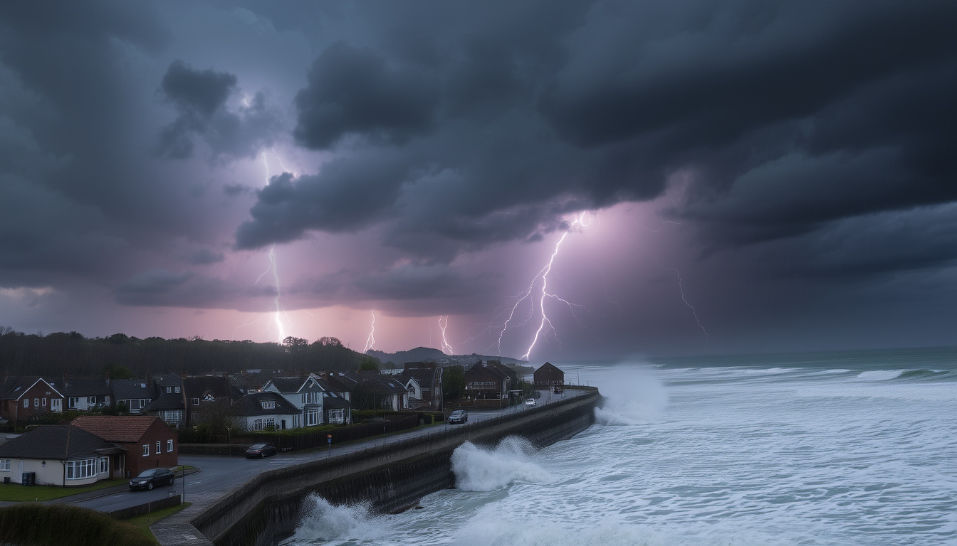
When you wake up to a grey sky and a weather app full of yellow triangles, it is easy to wonder how serious things are really about to get. Storm Benjamin rolled in on 22 October 2025, bringing three yellow weather warnings for wind and rain across England and Wales — though the strongest impacts, as it turned out, were always aimed at France.
Yellow warnings issued: 3 · Wind gusts (max): 55 mph · Rainfall expected: 50–70 mm · Affected regions: England, Wales · Warnings active until: 18:00 BST (rain), 15:00 BST (wind)
Quick snapshot
- Storm Benjamin named on 22 October 2025 by the Met Office (UK’s national weather service)
- Three yellow warnings issued for rain and wind across England and Wales – Met Office press release
- Wind gusts reached 55 mph in coastal areas, with potential locally up to 70 mph – Met Office
- Ireland escaped impact; no Met Éireann warnings issued – Met Éireann warning page
- Exact rainfall totals in localized areas (forecast 50–70 mm, but actual accumulation data pending)
- Long-term infrastructure impacts from saturated ground and surface water flooding
- Whether wind gusts locally exceeded 70 mph at the stronger end of expectations
- 22 October 2025 (afternoon): Three yellow warnings issued by Met Office – Met Office
- 23 October 2025 (morning): Storm moves east, warnings downgraded from amber – Met Office
- 23 October 2025 (15:00 BST): Wind warning expires – Met Office warning guide
- 23 October 2025 (18:00 BST): Rain warning expires – Met Office warning guide
- Further unsettled weather expected through the week — showery Monday, rain clearing Tuesday, brighter Wednesday – Met Office general forecast
- Check Environment Agency (UK flood authority) for local flood alerts
- Storm season continues — Met Office monitors Atlantic low-pressure systems – Met Office warning guide
The pattern across all four cards is clear: the warnings were modest, but the real-world impact depended on precise location and ground saturation.
Key facts about Storm Benjamin
Seven facts capture the essentials, one pattern: official warnings were yellow across the board, but the scale of disruption depended heavily on where you lived.
| Fact | Value |
|---|---|
| Storm name | Benjamin |
| Date | 22–23 October 2025 |
| Warnings active | 3 yellow |
| Maximum wind gusts | 55 mph (Met Office (UK’s national weather service)) |
| Rainfall forecast | 50–70 mm |
| Affected regions | England, Wales |
| Ireland impact | None (Met Éireann — Ireland’s meteorological service) |
The implication: despite the modest warning level, heavy rain on already saturated ground created real travel disruption and flooding risks in southern Britain.
Where is Storm Benjamin going to hit?
Current affected areas
- Wind warnings covered east and southeast England, with gusts of 50–60 mph widely, up to 70 mph near coasts — according to the Met Office (UK’s national weather service).
- Rain warnings covered southern England, Wales, the East Midlands, and parts of Yorkshire.
Forecast path
Storm Benjamin tracked north-east from the mid-Atlantic, through the Bay of Biscay, before sweeping across the English Channel during Wednesday night into Thursday — as reported by ITV News (UK commercial broadcaster with weather team).
Regional breakdown for England and Wales
- Southwest England and south Wales: wind gusts of 45–55 mph, locally 55 mph around coasts.
- Southern coastal counties and Channel Islands: damaging gusts of 65–70 mph.
- Eastern England: northerly winds developing with gusts of 50–60 mph.
The pattern: the worst wind impacts were always expected on the near continent; the UK mostly caught the north-western flank.
Residents in southern coastal counties faced the highest chance of structural damage and travel disruption given gusts approaching 70 mph — the Met Office stated there was a “small chance” of gusts very locally exceeding 70 mph if the storm was at the stronger end of expectations.
The catch: even a yellow warning can bring real danger to the most exposed communities.
Is Storm Benjamin going to hit Ireland?
Met Éireann assessment
Met Éireann, Ireland’s national meteorological service, issued no weather warnings for Storm Benjamin. According to the Met Éireann warnings page (Irish government weather service), no advisory, yellow, orange, or red alerts were activated during the period.
Why Ireland escaped impact
The storm’s track from the Bay of Biscay into the English Channel kept the core of the low-pressure system over southern Britain and northern France. Ireland remained on the western periphery, where conditions were windy but not severe enough to warrant formal warnings.
The implication: while Irish residents saw the same Atlantic weather headlines, the system never delivered disruptive winds or rain to the island.
What has happened to Storm Benjamin?
Timeline of Storm Benjamin development
- 22 October 2025 (afternoon): Met Office names the storm and issues three yellow warnings — one for wind, two for rain. Source: Met Office
- 23 October 2025 (morning): Storm moves east; initially hinted amber-level wind risk for some areas, but warnings were downgraded. Source: Met Office
- 23 October 2025 (15:00 BST): Wind warning expires.
- 23 October 2025 (18:00 BST): Rain warning expires.
Downgrade of warnings
The Met Office had flagged a potential upgrade to amber, but the system’s eastward track shifted its strongest winds toward France. The Met Office confirmed that while gusts near southern coastlines could still reach 70 mph, the overall risk to the UK diminished.
Current status
By the afternoon of 23 October, all warnings had expired. The Met Office general forecast showed a showery Monday, rain clearing Tuesday, and brighter interludes on Wednesday — a typical post-storm pattern.
The trade-off: the UK avoided severe disruption, but areas already saturated from pre-storm rainfall (some had already collected a month’s worth through Sunday and Monday per ITV News) remained vulnerable to localised flooding.
What are the current Storm Benjamin weather warnings?
Types of warnings in place
- Yellow wind warning: effective 22–23 October, covering east and southeast England, with winds 50–60 mph and gusts up to 70 mph near coasts. Expired 15:00 BST 23 October.
- Yellow rain warning: covering southern England, Wales, and the East Midlands. Rainfall 50–70 mm. Expired 18:00 BST 23 October.
- Yellow wind warning (coastal): covering Channel coastal counties for gusts of 65–70 mph. Expired 15:00 BST.
Duration and coverage
Met Office yellow warnings indicate that severe weather may disrupt plans, cause travel delays, road/rail closures, power cuts, and some risk to life and property — as defined on the Met Office warning guide (UK government meteorology authority).
Potential impacts
- Travel delays on roads, rail, and ferries — especially around southern coastal counties and Wales.
- Localised flooding from heavy rain on already saturated ground.
- Possible power cuts in areas experiencing strongest gusts.
Yellow warnings are not trivial — the Met Office explicitly warns that damage to buildings and risk to life is possible, but the public often underestimates them because they lack the urgency of an amber or red alert.
Why this matters: knowing what “yellow” actually means helps residents judge whether to cancel travel or simply stay alert.
How does Storm Benjamin compare to previous storms like Storm Éowyn?
Strength comparison
- Storm Éowyn (early 2025) was a more powerful system that brought red warnings to parts of Ireland and northern UK.
- Storm Benjamin is weaker — it never triggered a red warning for any UK region. Météo-France did issue orange alerts for northern France, according to BBC Weather (UK public service broadcaster with dedicated meteorology unit).
Warning levels
Éowyn’s red warning is the most urgent tier: dangerous weather, take action now. Benjamin remained yellow throughout — see the Met Office warning scale (UK’s official colour-coded alert system).
Impact on UK
Éowyn caused widespread power outages and structural damage. Benjamin, in contrast, brought localised disruption — travel delays, surface water flooding — but no widespread infrastructure failure. The Guardian (UK national newspaper with dedicated weather coverage) reported that the main difference was the storm track: Éowyn stalled over Ireland, while Benjamin moved rapidly east.
The takeaway: two yellow-flagged storms can deliver very different outcomes depending on where the low-pressure centre sits.
Timeline of Storm Benjamin
- — Storm Benjamin named by Met Office. Source: Met Office
- — Met Office issues three yellow weather warnings: one for wind, two for rain. Source: Met Office
- — Storm moves east; warnings downgraded from amber risk level. Source: Met Office
- — Wind warning expires. Source: Met Office warning guide
- — Rain warning expires. Source: Met Office warning guide
What’s clear — and what isn’t
Confirmed facts
- Storm Benjamin passed through England and Wales on 22–23 October 2025. Met Office
- Three yellow warnings were issued by the Met Office. Met Office
- Ireland was not affected; no warnings from Met Éireann. Met Éireann
- Wind gusts reached 55 mph in coastal areas, with higher gusts locally. Met Office
- Rainfall of 50–70 mm was forecast across southern England and Wales. Met Office
What’s unclear
- Exact rainfall totals in localized areas — measurement data still pending.
- Whether wind gusts exceeded 70 mph in any specific location.
- Long-term infrastructure impacts from ground saturation and flooding.
Expert perspectives
“The strongest impacts from Storm Benjamin were expected on the near continent and in France, where Météo-France named the system.”
— Met Office spokesperson, Met Office press release (UK’s national weather service)
“Widespread gales are expected across southern England and Wales, with damaging gusts of 65 to 70 mph along southern coastal counties and the Channel Islands.”
— BBC Weather correspondent, BBC Weather (UK public service broadcaster meteorology team)
For the millions of people in England and Wales who saw warnings flash on their phones, the choice is clear: treat yellow warnings with respect, check local flood alerts from the Environment Agency (UK flood authority), and prepare for disruption even when the storm misses its worst-case track.
As yellow wind and rain warnings remain in place, the Met Office has also issued a nine-day snowstorm forecast that could bring significant disruption across the country.
Frequently asked questions
How long will Storm Benjamin last?
The wind warnings expired at 15:00 BST on 23 October, and rain warnings expired at 18:00 BST on the same day. The unsettled air following the storm is expected to persist into the weekday.
What precautions should I take during a yellow weather warning?
Secure loose outdoor items, avoid unnecessary travel in exposed areas, check for local flood warnings, and stay updated via the Met Office website or app. The Met Office (UK government meteorology authority) recommends treating yellow warnings as a “be aware” signal.
Will there be more storms like Storm Benjamin this season?
Yes — the Atlantic storm season typically runs through winter. The Met Office monitors low-pressure systems and names them when they are expected to cause significant disruption.
What is a yellow weather warning?
A yellow warning means severe weather is possible over the next few days and could affect plans. It is the lowest tier in the Met Office’s three-tier system (yellow, amber, red). Details on the Met Office warning guide.
How are storms named in the UK?
The Met Office, Met Éireann, and the Dutch national weather service (KNMI) collaborate on the Name Our Storms initiative. Names are chosen alphabetically. Storm Benjamin was the second named storm of the 2025–26 season.
What should I do if flooding is expected?
Check the Environment Agency (UK flood authority) for live alerts. Move valuables upstairs, prepare sandbags, and avoid walking or driving through flood water.
Can Storm Benjamin cause power cuts?
Yes — strong winds of 55–70 mph can bring down trees and damage power lines. Energy network operators advise reporting outages via your regional distribution company. The Energy Networks Association (UK electricity grid authorities) provides advice.
Related stories


Rachel Dunn covers culture, lifestyle and society stories across the UK.